

Flood zone · any address
What flood zone is this house in?
Last verified
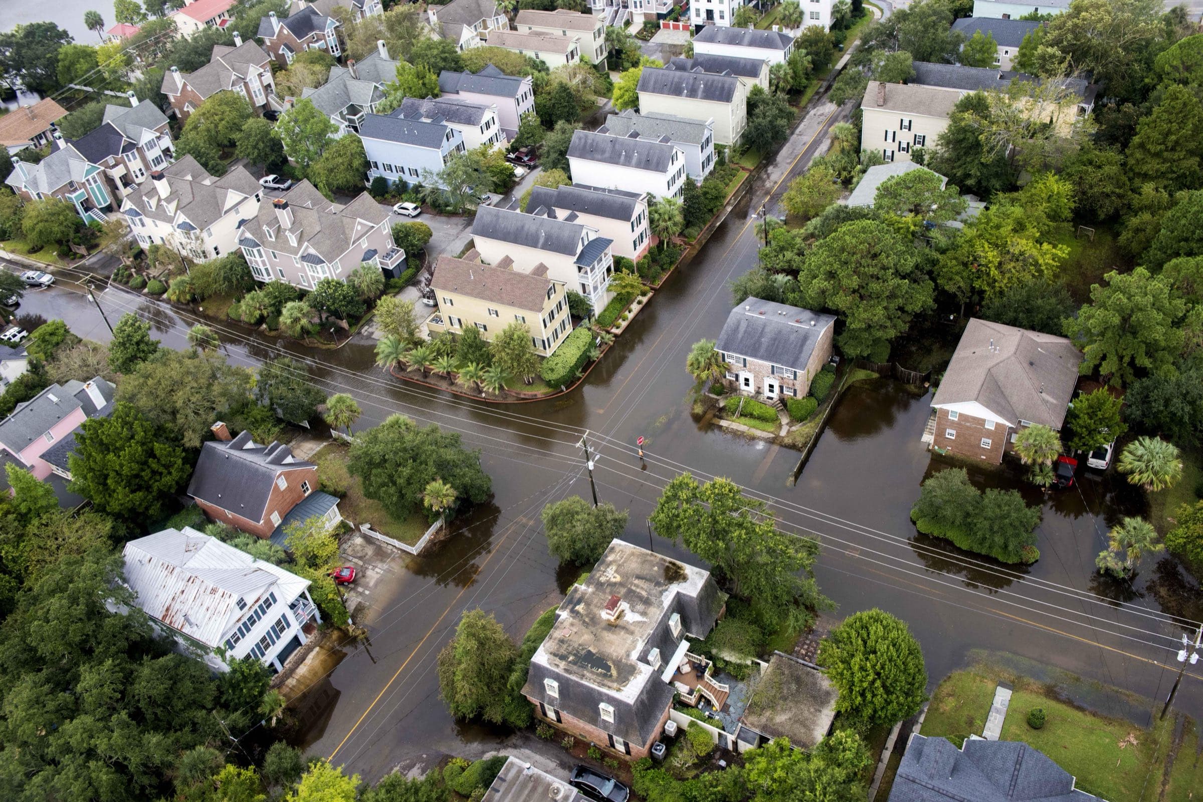
Petty Officer 1st Class Stephen Lehmann, U.S. Coast Guard (via USDA) (public domain), via Wikimedia Commons
Type the address. You get FEMA’s flood zone for that exact spot, the base flood elevation where FEMA sets one, the map panel and its date — and, on Johns Island, whether it’s inside the City of Charleston. Every answer comes straight from FEMA’s and Charleston County’s own map services.
What we know about flood here
- Flood zones vary parcel by parcel: upland points along Maybank Highway, River Road and Main Road tested as Zone X; waterfront and low points tested as Zone AE, with base flood elevations from 8 to 12 feet. [FEMA National Flood Hazard Layer]
- The FEMA flood maps (FIRM panels) at the tested points took effect January 29, 2021. [FEMA National Flood Hazard Layer, panels]
- Unincorporated Charleston County is a Community Rating System Class 2 — a 40% flood-insurance discount, effective October 1, 2023, applied at renewal. [Charleston County, CRS rating release]
- Hurricane evacuation: Zone B includes areas in and around Johns Island; Seabrook and Kiawah are Zone A. Check your own zone with the state's lookup. [SC Hurricane Plan, Annex C (May 2026)]
Data: FEMA National Flood Hazard Layer, U.S. Census geocoder, Charleston County tax districts. The map is FEMA’s regulatory map, not a prediction; an elevation certificate and an insurance quote tell you what a specific house will pay. We don’t keep the addresses you look up.
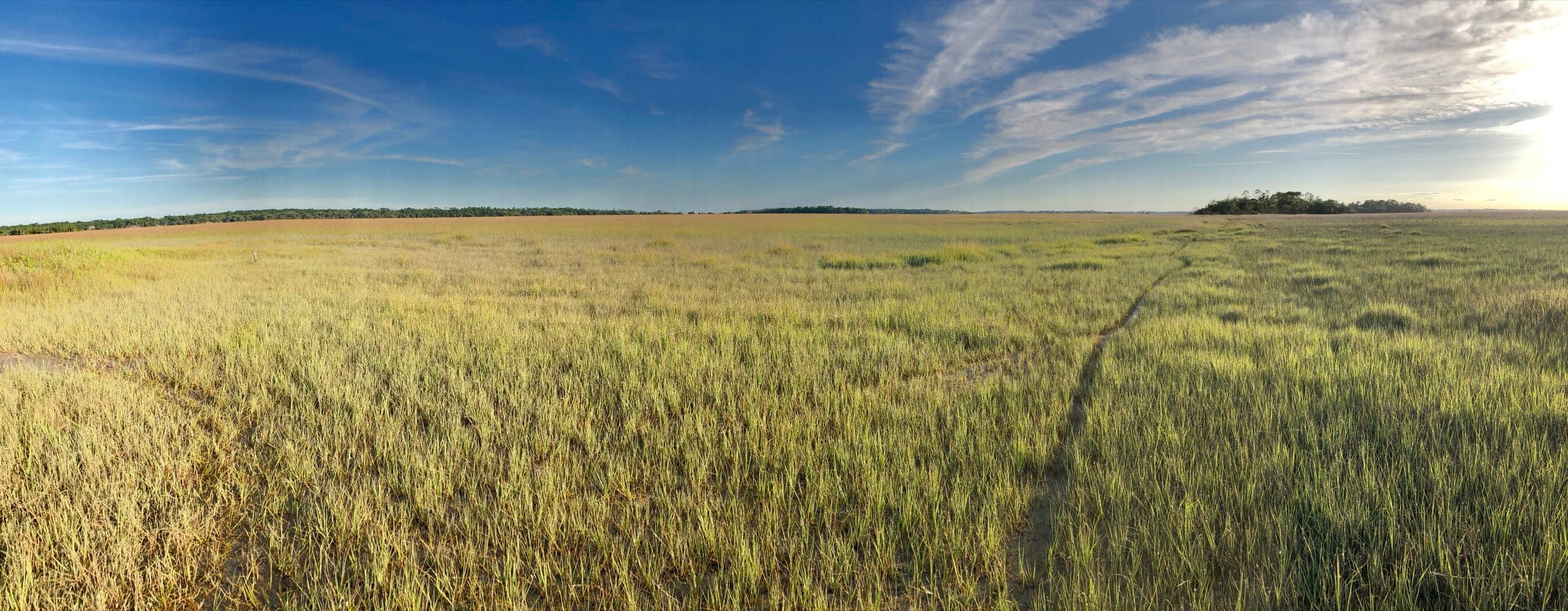
The marsh, Seabrook Island
Photo: chucka_nc, CC BY-SA 2.0, via Wikimedia Commons (resized)
Two ways in
Talk it through with Mike, or ask Val — the guide’s AI assistant, answering from this site’s sourced facts.