

Live · from the National Weather Service
Weather on the islands
Alerts, radar, the next day and the next week, the water off the beach and the tropics, for Johns Island, Kiawah, Seabrook and Wadmalaw. Straight from the government forecasters, refreshed on your screen.
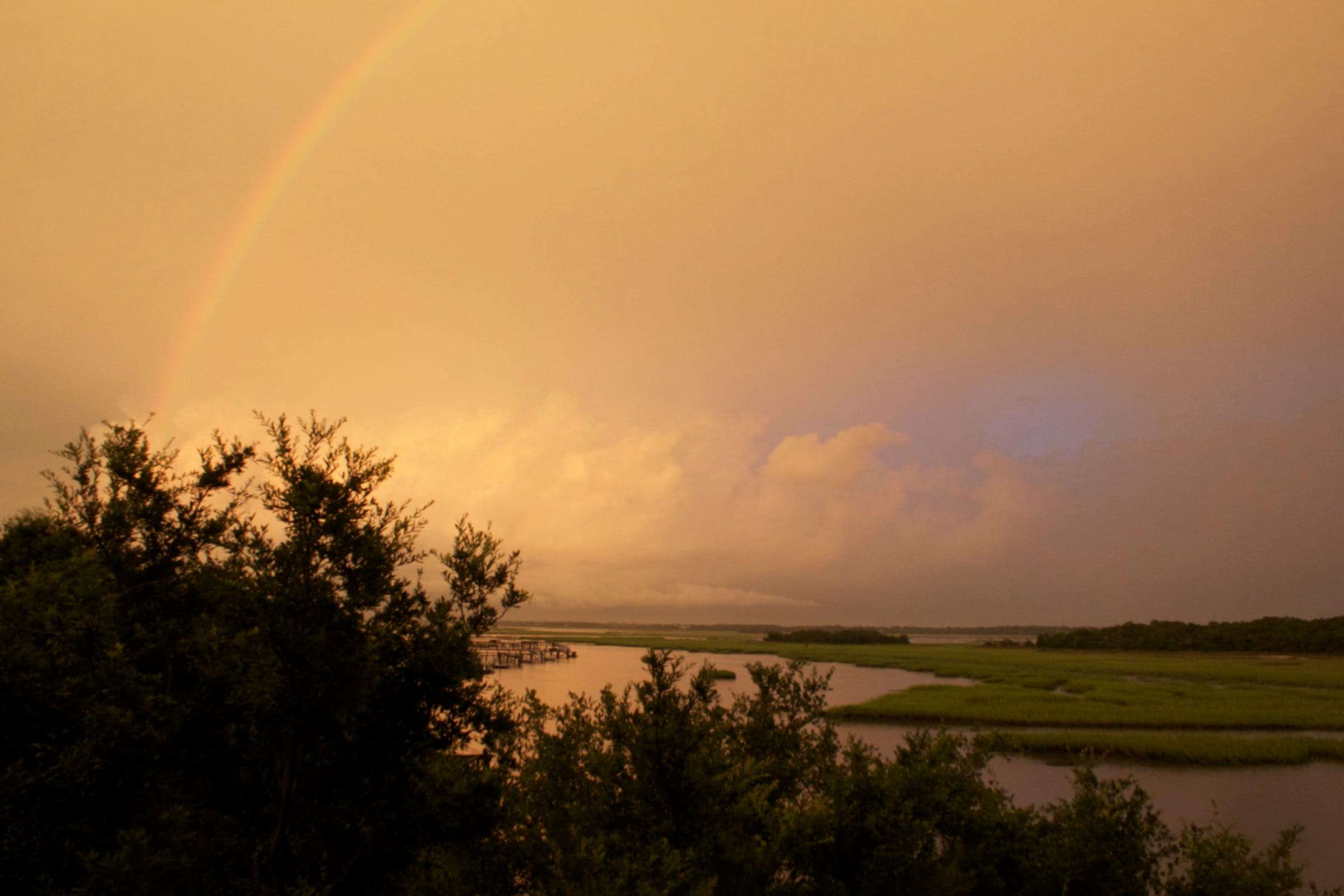
Photo: DThomson7 (Debra Thomson), CC BY-SA 3.0, via Wikimedia Commons (resized)
No National Weather Service alerts for the islands right now.
Air
—
Wind
—
Pressure
—
Humidity
—
UV today
—
Ocean
—
Waves at the buoy
NWS station KJZI (Charleston Executive Airport) · pressure: NOAA Charleston Harbor barometer · UV: U.S. EPA, 29455 · waves: NOAA buoys
Live Satellite · GOES-19
NOAA GOES-19 GeoColor
Live Radar · Charleston
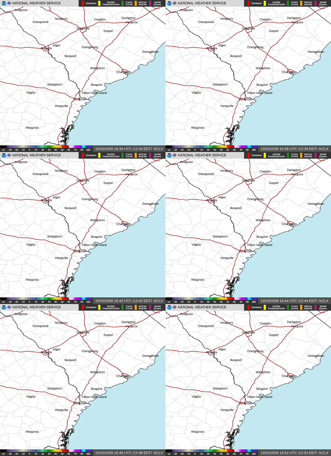
NWS Charleston radar (KCLX), the last hour
On the water
Asking the National Weather Service…
NWS coastal waters forecast, Coastal waters, South Santee River to Edisto Beach, out 20 nautical miles
The tropics

National Hurricane Center: active storms and the 7-day outlook. Distances are great-circle miles from the islands.
Before you need it
Storm ready
The official places to check before and during a storm. Bookmark the ones that apply to you.
| Find your hurricane evacuation zone | SC Emergency Management Division, Know Your Zone |
|---|---|
| Charleston County emergency management | Charleston County Emergency Management Department |
| Get ready before a storm | National Hurricane Center, hurricane preparedness |
| Rip currents and the beach forecast | National Weather Service Charleston, beach forecast |
| Lightning safety | National Weather Service, lightning safety |
Buying or insuring near the water? Look up any address on the flood zone map, and see Island Today for the tide, flood-level tides at the Charleston Harbor gauge and the day’s sunset.
Supplied by Mike Olson
Two ways in
Talk it through with Mike, or ask Val — the guide’s AI assistant, answering from this site’s sourced facts.