

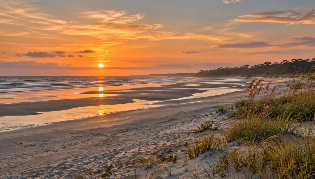
Live · every morning
Island Today
The tide, the weather, the water, the sunset and the dolphins’ window for Kiawah, Seabrook, Johns Island and Wadmalaw, worked out right now from NOAA and the National Weather Service.
Supplied by Mike Olson
Island Today
Weather
Asking the National Weather Service…
National Weather Service, Charleston
Tide · Kiawah River
Asking NOAA…
NOAA station 8667062, feet above mean lower low water
Sun & moon
Worked out on your device (NOAA solar method)
Dolphins · Captain Sams Inlet
Asking NOAA…
The ocean
— water
Asking the buoys…
Water: NOAA Charleston Harbor. Waves: NOAA buoys; forecast: NWS. Wind —.
High water watch
Asking NOAA…
At the Charleston Harbor gauge, the National Weather Service counts minor coastal flooding from 7.0 ft, moderate from 7.5 ft and major from 8.0 ft.
NOAA predictions, station 8665530; flood levels set by the National Weather Service
Roads & bridges
The Limehouse (Stono River) bridge on Main Road is a fixed span; it never opens. The US 17 and Main Road interchange is under construction through late 2028.
Traffic right now · Maybank, Main and the bridges
Live map: Waze. Road cameras near the islands (Folly Road, the Wappoo Cut bridge, I-526): SCDOT 511.
Where every number comes from
Nothing on this page is typed in by hand. Your phone asks the government sources below directly, and the page says so on every tile.
| Forecast and alerts | National Weather Service, Charleston office (api.weather.gov) |
|---|---|
| Tide on the islands | NOAA tide predictions, Kiawah River, station 8667062 |
| Water temperature and flood-level tides | NOAA, Charleston Harbor, station 8665530; flood levels from the National Weather Service |
| Waves | NOAA's National Data Buoy Center (Edisto 41004, Capers 41029) and the NWS wave forecast |
| Wind | NWS, Charleston Executive Airport (KJZI); NOAA Charleston Harbor when the airport is blank |
| Dolphin strand feeding | Town of Kiawah Island: mostly near Captain Sams Inlet, usually within 3 hours of low tide; keep 75 ft away |
| Captain Sams Inlet swimming | Town of Seabrook Island: no swimming 2 hours either side of low tide, or whenever dolphins are there |
| Wappoo Cut drawbridge | 33 CFR 117.911(d), the bridge's federal operating rule |
| Sun and moon | Worked out on your device with NOAA's solar position method and the mean lunar month |
Plan the day
- Getting on the beach: Beachwalker Park parking by month, the Gold Pass, and the rules on the sand.
- Staying in a rental? The guest guides for each island work offline, with the island’s rules and who to call.
- The Ocean Course in 3D, with today’s wind on every hole.
- The directory: where to eat, rent a bike or book a kayak.
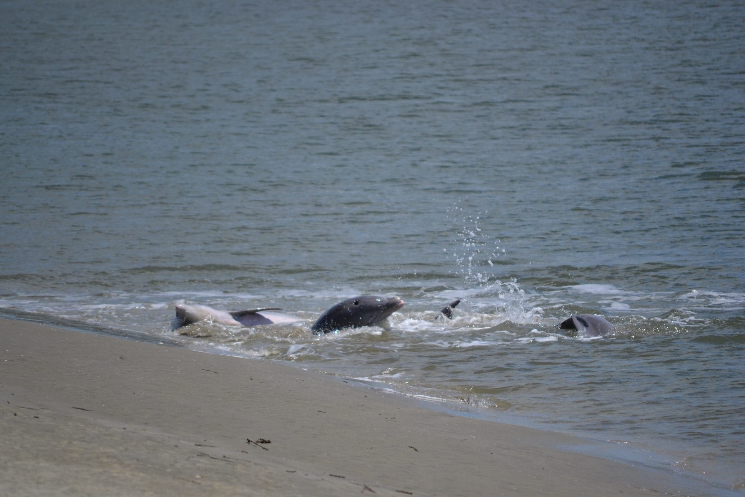
Photo: chucka_nc, CC BY-SA 2.0, via Wikimedia Commons (resized)
Two ways in
Talk it through with Mike, or ask Val — the guide’s AI assistant, answering from this site’s sourced facts.