

Johns Island · Mike Olson's home market
Johns Island: what to know before you buy
Johns Island is one ZIP code with more than one government. Which side of the line a parcel sits on changes its tax bill, its trash pickup and its fire department — here’s how to tell, and what each costs.
Last verified
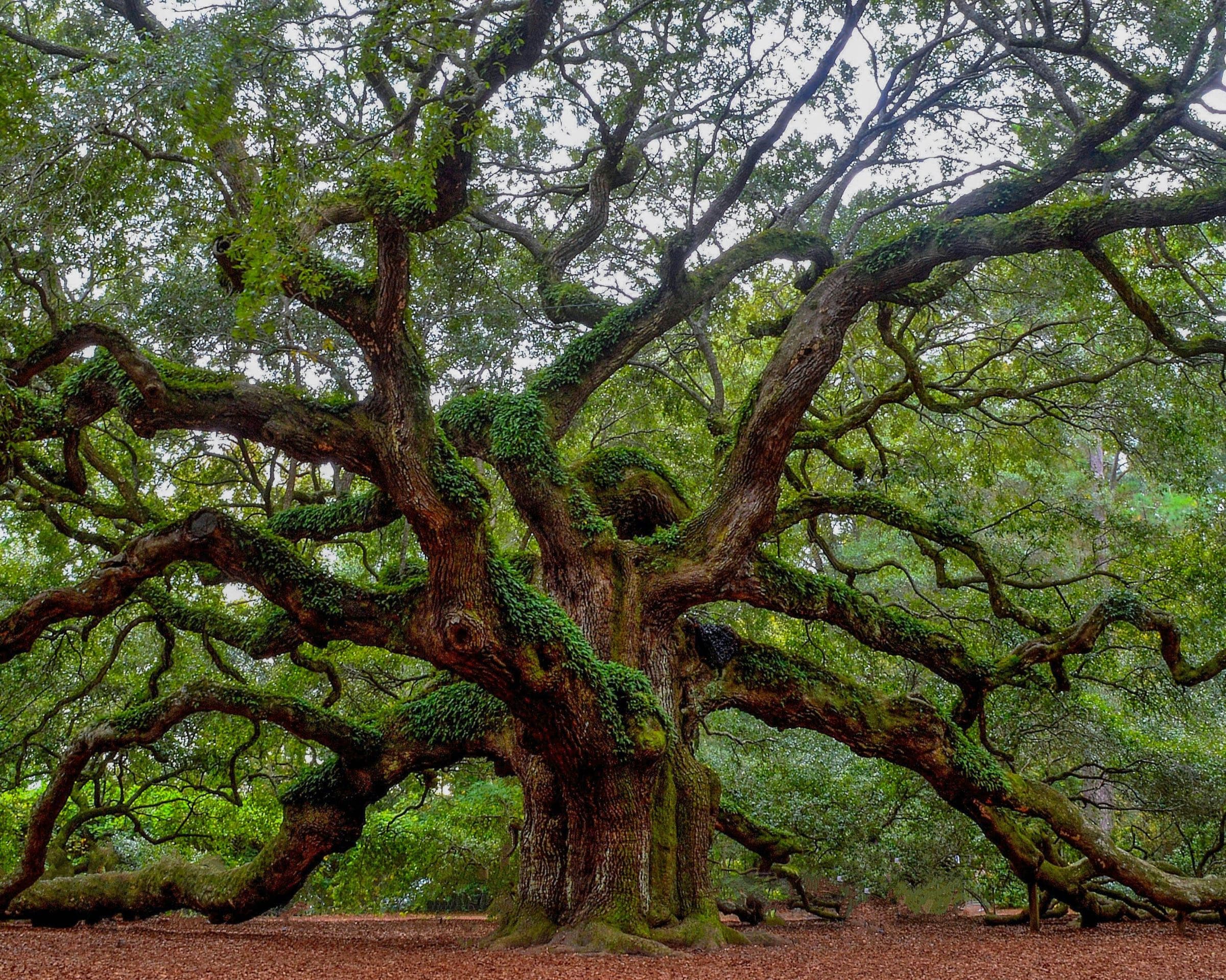
Photo by Andrew Shelley on Unsplash
Inside the City of Charleston, a Johns Island parcel pays 298.1 mills (2025) plus a $132 stormwater fee; outside it, in the St. John’s Fire District, 246.1 mills. On a $500,000 legal residence that’s about $2,292 a year in the City and $1,662 outside it, by the county’s own method, before the $150 solid-waste fee.
Which side of the line
- Three jurisdictions share the Johns Island ZIP: most of the island is either City of Charleston or unincorporated Charleston County. Freshfields Village sits inside the Town of Kiawah Island, and Bohicket Marina inside the Town of Seabrook Island. [Charleston County GIS, municipal boundaries layer]
- The tax district code on a parcel's county record says which side it's on: T.D. 5-1 is unincorporated (St. John's Fire District); T.D. 5-2 is the City of Charleston on Johns Island (Charleston Fire Department). [Charleston County GIS, tax districts layer]
- City limits are patchy: unincorporated "donut holes" exist on Johns Island, so a parcel surrounded by city land can still be county. [City of Charleston, Annexation]
Check any parcel in four steps
- Open Charleston County's Public Search map.
- Search the address or the parcel number (TMS).
- Turn on the "Municipal Limits" layer — City limits show in pink.
- Or email the TMS to annex@charleston-sc.gov for a contiguity review.
Steps from City of Charleston, Annexation Eligibility Process.
| What changes | Inside the City | Outside (county) |
|---|---|---|
| Property tax levy (2025) | 298.1 mills | 246.1 mills |
| Stormwater | $132 a year | Not in our ledger yet — being confirmed with the county |
| Fire service [source] | Charleston Fire Department | St. John's Fire District |
| Garbage [source] | City pickup once a week, in standard carts | The county doesn't collect garbage — a private hauler, or a county convenience center |
The volume market of the three
Based on information from CHS Regional MLS for the period 10/01/2025 through 09/30/2026.
Kiawah River is on Johns Island
- Kiawah River is on Johns Island — not on Kiawah Island and not part of KICA. It sits in tax district 51 (unincorporated). [Kiawah River FAQ, January 2026 (the developer's)]
- The developer's FAQ: about 2,000 acres; no private club at this time; the entrances are not currently gated. [Kiawah River FAQ, January 2026 (the developer's)]
- Kiawah River Estates is a separate, older gated community next door, with its own association; its site says short-term rentals are prohibited. [Kiawah River Estates association site]
Its HOA fee is $4,748 a year (2026), and the buyer pays a 0.25% of the transaction value transfer fee at closing — both in the ledger with the developer’s FAQ as the source.
Flood zones go parcel by parcel
- Flood zones vary parcel by parcel: upland points along Maybank Highway, River Road and Main Road tested as Zone X; waterfront and low points tested as Zone AE, with base flood elevations from 8 to 12 feet. [FEMA National Flood Hazard Layer]
- The FEMA flood maps (FIRM panels) at the tested points took effect January 29, 2021. [FEMA National Flood Hazard Layer, panels]
- Unincorporated Charleston County is a Community Rating System Class 2 — a 40% flood-insurance discount, effective October 1, 2023, applied at renewal. [Charleston County, CRS rating release]
- Hurricane evacuation: Zone B includes areas in and around Johns Island; Seabrook and Kiawah are Zone A. Check your own zone with the state's lookup. [SC Hurricane Plan, Annex C (May 2026)]
Look up any address’s FEMA flood zone before you price insurance.
Roads and the growth line
- Charleston County's Comprehensive Plan draws an Urban Growth Boundary across Johns Island, separating the Rural Area from the Urban/Suburban Area. [Charleston County Comprehensive Plan, Land Use Element]
- The City of Charleston's Johns Island Community Plan was ratified by City Council in November 2007. [City of Charleston, Johns Island Community Plan]
- US 17 / Main Road improvements (Segment A): 2.4 miles along Main Road from Bees Ferry Road to River and Chisolm Roads, with construction expected to finish in 2028. [Charleston County, US 17 and Main Road project update (Aug 11, 2026)]
Assigned public schools
- Angel Oak Elementary (4K–1) / Johns Island Elementary (2–5)
- Haut Gap Middle (6–8)
- St. Johns High (9–12)
Every Johns Island, Kiawah River and Freshfields point tested returned these 2025–26 assignments (CCSD Constituent District 9). Assignments change; check the address in the district's own locator. Check an address. [Charleston County School District attendance-zone layer]
How Johns Island came to be
The Kussoe, Stono and Bohicket peoples, rice and Sea Island cotton, the churches freedpeople built, the Civil War on River Road and the first bridges are on the islands’ history — with the stories in full on Gullah Geechee on the islands, the Civil War on Johns Island and the Angel Oak. Every line is sourced.
Answers for any address
- City or county, tax district, parcel record
Charleston County Public Search
- Flood zone for an address
FEMA, via our lookup
- Electric service territory (address search)
Berkeley Electric Cooperative
- Water and sewer service area
Charleston Water System
- Internet providers at an address
FCC National Broadband Map
- Hurricane evacuation zone
SC Emergency Management
- School assignment for an address
Charleston County School District
- Property tax estimate
Charleston County Auditor
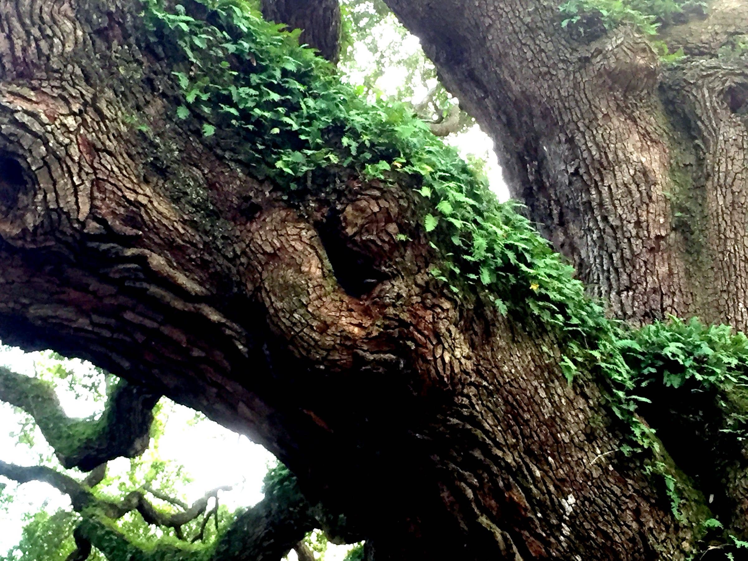
Angel Oak, Johns Island
Photo: MadeYourReadThis, CC BY-SA 4.0, via Wikimedia Commons (resized)
Two ways in
Talk it through with Mike, or ask Val — the guide’s AI assistant, answering from this site’s sourced facts.