
The Wire · Water · Johns Island, Kiawah and Seabrook
Oyster season is open on the creeks around the islands
Recreational picking runs from Oct. 1 to May 15, 2027. The license, the two-bushel limit, where the State and Public grounds are, how to check for rain closures and where to drop your shells.
Oyster season is open. South Carolina's 2026-27 recreational season for clams and oysters opened a half hour before sunrise on Thursday, Oct. 1, and runs through May 15, 2027, unless conditions call for stretching or shortening it. SCDNR's table for the grounds it maps as South Edisto to Charleston, where the Kiawah River and Bohicket Creek grounds sit, lists Oct. 1 to May 15 for every one of them, with a note that closing dates can change. Picking is daylight work: it is illegal from a half hour after official sunset to a half hour before official sunrise.
First, the license. Picking oysters or clams takes a South Carolina Saltwater Recreational Fishing License, and it has to be on you while you harvest. Residents pay $15 a year, $45 for three years or $10 for 14 days; nonresidents pay $75 a year, $35 for seven days or $10 for a day. Anyone under 16 is exempt, and so are residents with a valid Gratis Over 65 or Gratis Disability License. The limit is two U.S. bushels of oysters (a bushel is eight gallons) and a half bushel of clams per person per day, on no more than two calendar days in any seven-day stretch, and a boat or vehicle, or the two together, can hold no more than three personal limits. Clams must be at least an inch thick. Scoops, scrapes, tongs and dredges are out without a permit.
Where you can pick: State Shellfish Grounds, labeled with an S on SCDNR's maps, and Public Shellfish Grounds, labeled with an R. Most are marked with signs. Statewide, 20 Public and seven State grounds are kept for recreational gathering only, and 58 more State grounds are open to both recreational and commercial harvest. Culture permit grounds are off limits unless you carry written permission from the permit holder. Near the islands, SCDNR lists Public grounds R-173, R-174 and R-175 on Leadenwah Creek, R-186 on the Kiawah River and R-193 on Green Creek, and State grounds including S-187 on Bohicket Creek, S-194 East and West on the Kiawah River, S-182 on Leadenwah Creek, S-161 on Steamboat Creek, S-168 on Toogoodoo Creek, S-189 at Snake Island and S-196 on Cole Creek. Several, Bohicket Creek and the East Kiawah River among them, carry the status "Partially Closed - SCDES." A ground missing from the table is not open to recreational picking this season. SCDNR says the open areas change from year to year, so pull this season's map first: each map prints its season dates at the top, every ground's PDF is on SCDNR's South Edisto to Charleston page, there is an interactive Recreational Map Web Application, and printed maps can be ordered at (843) 953-9854.
Then check the water. The shading on SCDNR's maps shows the S.C. Department of Environmental Services' harvest classifications by water quality, and SCDNR says not to eat shellfish from areas shaded red or orange. Any ground can close after heavy rain or a spill. SCDES closes open areas after 4 inches of rain in 24 hours, and closes its Conditionally Approved areas after smaller amounts, set area by area in management plans at 1 to 1.4 inches in 24 hours. Those stay closed at least 14 days and reopen only after the water is sampled for fecal coliform bacteria. A National Weather Service hurricane warning closes every open area inside it. Closed grounds should carry yellow signs, but conditional closures are not always posted, so check SCDES's interactive closure map or call its shellfish hotline, 1-800-285-1618, before you head out.
On the bed, cull in place. SCDNR asks every picker to break off dead shell and smaller oysters and leave them on the shoreline, where they keep growing and give other oysters a place to live, and to take only clusters or singles of larger oysters. The shell left behind is the next crop's footing. In summer, oyster larvae ride the tide for about two weeks before they settle on a hard surface, old oyster shell among the materials they take to, and unless disturbed they stay there for life. One adult oyster can filter up to 50 gallons of water a day.
After the roast, bring the shells back. SCDNR quarantines recycled shell for at least six months, then plants it in South Carolina estuaries for young oysters to grow on. Keep shell separate from trash, never put freshly shucked shell or oysters harvested outside South Carolina into the water yourself, and don't take shell from a bin: it is state property. SCDNR's drop sites closest to the islands are a trailer behind Gilligan's at 160 Main Road on Johns Island (seasonal, Sept. 15 to April 30), a bin at the Bears Bluff Fish Hatchery at 7030 Bears Bluff Road on Wadmalaw, and a trailer at 4268 Betsy Kerrison Parkway, by the blue "Keep Betsy Beautiful" sign, where visitors may use only the area near the trailer. James Island has bins at the Sol Legare boat landing and at SCDNR on Fort Johnson Road. For any other site, call SCDNR at (843) 953-9397.
Some of that shell work happens right here. SCDNR's SCORE program, the South Carolina Oyster Recycling and Enhancement program, runs community oyster reef restoration and monitoring with volunteers. As part of it, the Conservancy of the Sea Islands, the Kiawah Conservancy until its new name, is restoring more than 1,900 feet of Kiawah River bank around the Kiawah Island Parkway bridge with manufactured wire reefs that mimic oyster beds, working with SCDNR, Lowcountry Land Trust, the Town of Kiawah Island and KICA among others, with funding from the Town's accommodations-tax grant program. KICA's page set the reef installation for April through July 2026, with spartina grass to be planted once the sediment settles, and Live 5 reported in March that Conservancy staff, volunteers and students were placing and securing oyster shell reefs along the riverbanks. SCORE's volunteer form is on its site.
Know someone who’d want this?
Sources: SCDNR, Marine: Shellfish (2026-27 season notice) (official) · SCDNR, recreational shellfish harvesting rules (official) · SCDNR, shellfish grounds: South Edisto to Charleston (official) · SCDNR, recreational shellfish maps (official) · SCDNR, resident license prices (official) · SCDNR, nonresident license prices (official) · SCDNR, shellfish season release, Sept. 18, 2025 (cull in place) (official) · SCDES, shellfish area closures and openings (official) · SCDNR, oyster recycling and drop-off sites (official) · SCDNR, oyster recycling drop-off map (official) · SCDNR, SCORE program (official) · KICA, Kiawah River bank restoration (Nov. 4, 2025) (official) · Conservancy of the Sea Islands, about (formerly the Kiawah Conservancy) (the business) · Live 5, Sept. 27, 2026 (press) · ABC News 4, Sept. 25, 2026 (press) · Live 5, March 18, 2026 (press). Written with AI by The Islander desk, every source re-checked before it ran (our standards); nothing is copied. Want more of the Islander in Google? Add us as a preferred source. See something wrong? Tell us and it gets fixed, with the date.
The island market letter
What homes are selling for on your island, from the MLS, by email from the Islander Home Team.
The Islander, free in your inbox
Tonight’s music, the open houses, and the island’s newest stories — in one short email.
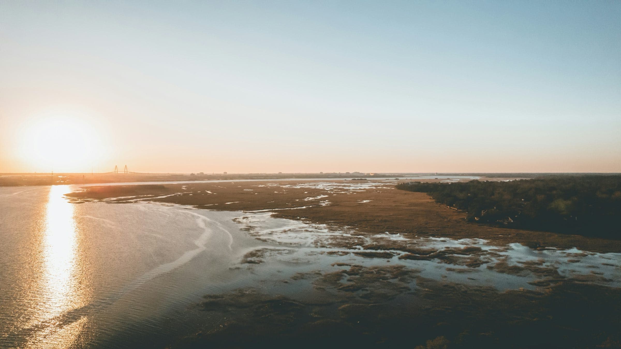
The marsh at sunrise
Buying or selling here?
Local agents, local homes: talk it through with the Islander Home Team, or ask an Islander — our AI assistant, answering from this site’s sourced facts.
Sources6
Where every fact, number and photo on this page comes from.
Photographs
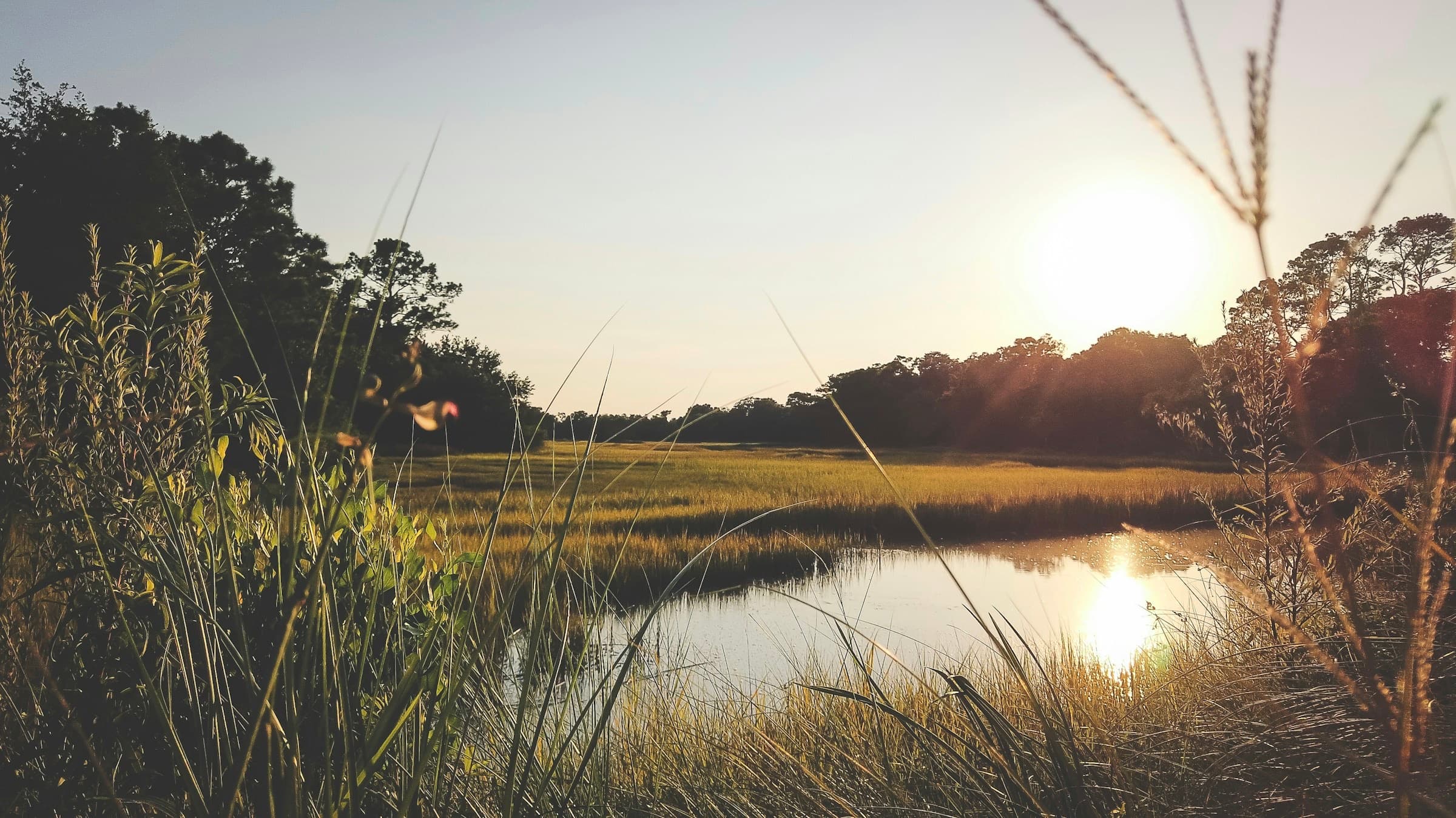
- The sun setting over a tidal creek and marsh grass near Kiawah Island · Photo by Clint McKoy on Unsplash · license
- Aerial view of marsh and tidal flats · Photo by Cody Silver on Unsplash · license
- Sand path through dune grass to the beach · Photo by Kelsey Schisler on Unsplash · license
- Aerial view of an oceanfront golf course winding through dunes · Mike Olson
- Oak-lined dirt road to Botany Bay on Edisto Island · Photo by Mick Haupt on Unsplash · license
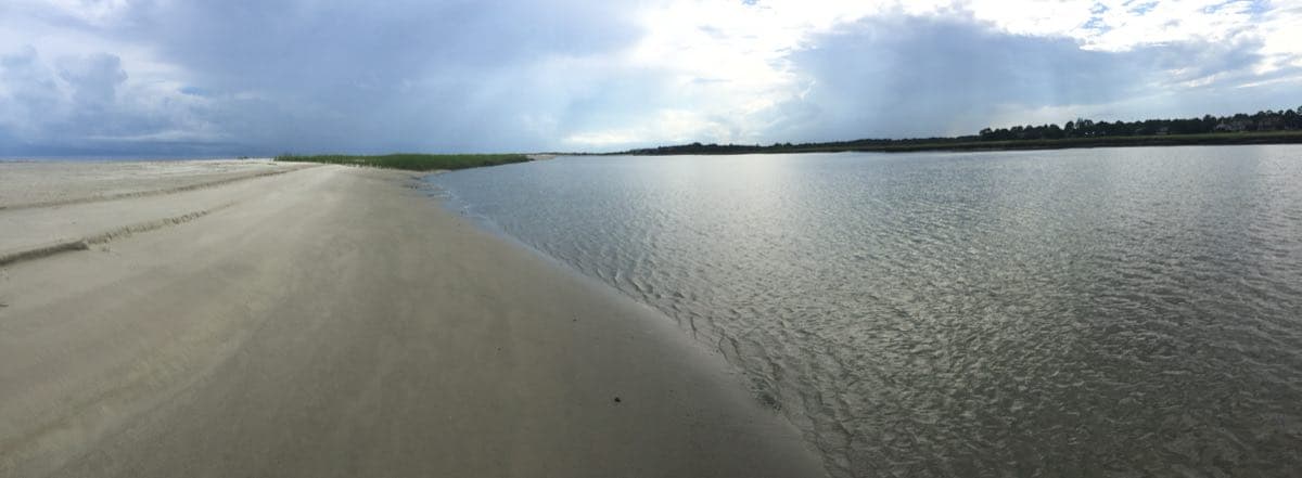
- Low-tide beach and shallow water reaching to the horizon on Seabrook Island · chucka_nc, CC BY-SA 2.0, via Wikimedia Commons (resized) · license
